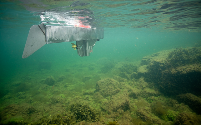
Smart seabed monitoring: AI in underwater images
In this project Sensemakers and DHI are developing an AI supported tool that automatically maps eelgrass and other seabed types from underwater images collected by the unmanned SenseBoat USVs. The aim is to make monitoring of coastal marine environments far more efficient and scalable while providing a stronger data foundation for marine restoration and protection.
Manual seabed analysis limits scale
Today, visual mapping of the seabed, for example eelgrass and other habitats, relies on extensive manual review of underwater footage. This makes monitoring expensive, time consuming and difficult to scale, which limits both the frequency and coverage of marine surveys. At the same time, valuable knowledge is lost because large data volumes cannot be fully analysed, and decision makers are left with too weak a basis for planning restoration and protection in coastal areas.
AI on underwater images from unmanned vessels
The project develops a semantic segmentation model that can automatically distinguish between seabed and habitat types (vegetation, soft and hard bottom) on underwater photos from Sensemakers’ SenseBoat USVs. A preprocessing pipeline filters out uninformative images with, for example, poor visibility and reduces the data volumes so that only the most relevant images are processed and stored. The solution is implemented as edge AI on the USV itself and/or in a back-end database, enabling continuous, detailed seabed maps with a much lower need for manual analysis.
More knowledge, better decisions for marine nature
The project will deliver a working prototype tested in field studies in Danish waters, demonstrating that AI can both support and improve traditional seabed analysis. In the short term, the tool is expected to make monitoring of eelgrass, artificial reefs and other coastal habitats more cost effective and targeted. In the longer term, the ambition is for the solution to become an integrated part of Sensemakers’ USV platforms and an export ready tool for authorities, researchers, NGOs and industry, helping to strengthen marine protection and restoration in coastal waters worldwide.
Duration
01/11/2025 – 28/02/2026
Budget
200.000
Supported by


Partners
Other projects
All projects-
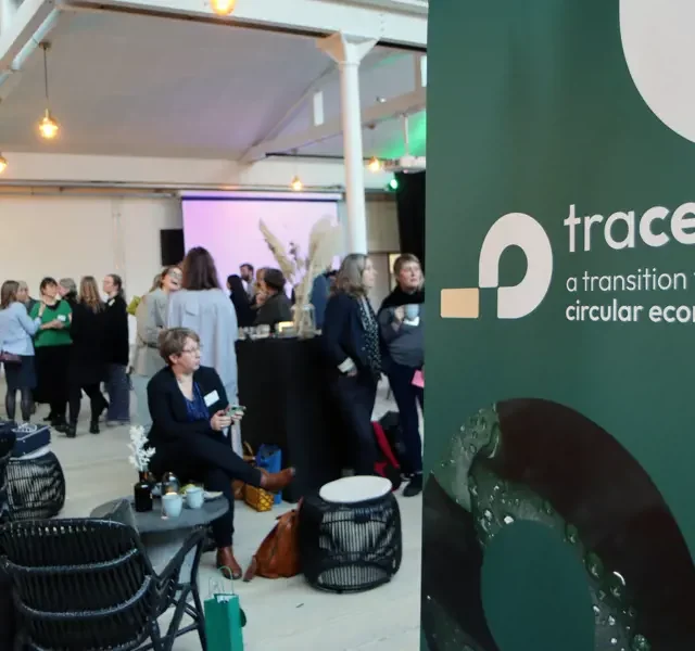
Trace
Trace contributes to Denmark reaching the national climate goals within the circular economy by 2050 with a focus on…
-

ICEFIELD
ICEFIELD is a Danish innovation project working on CO₂ removal in agriculture using a nature-based solution called…
-
Ocean Valley
The Øresund region has a unique opportunity. On both sides of the sea, there are strong energy systems, industrial…
-
LogiCCS
This project aims to develop sustainable, energy-efficient maritime logistics for transporting carbon dioxide (CO2)…